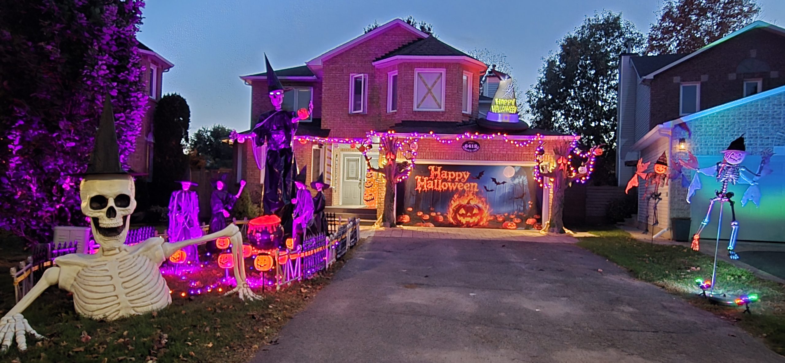
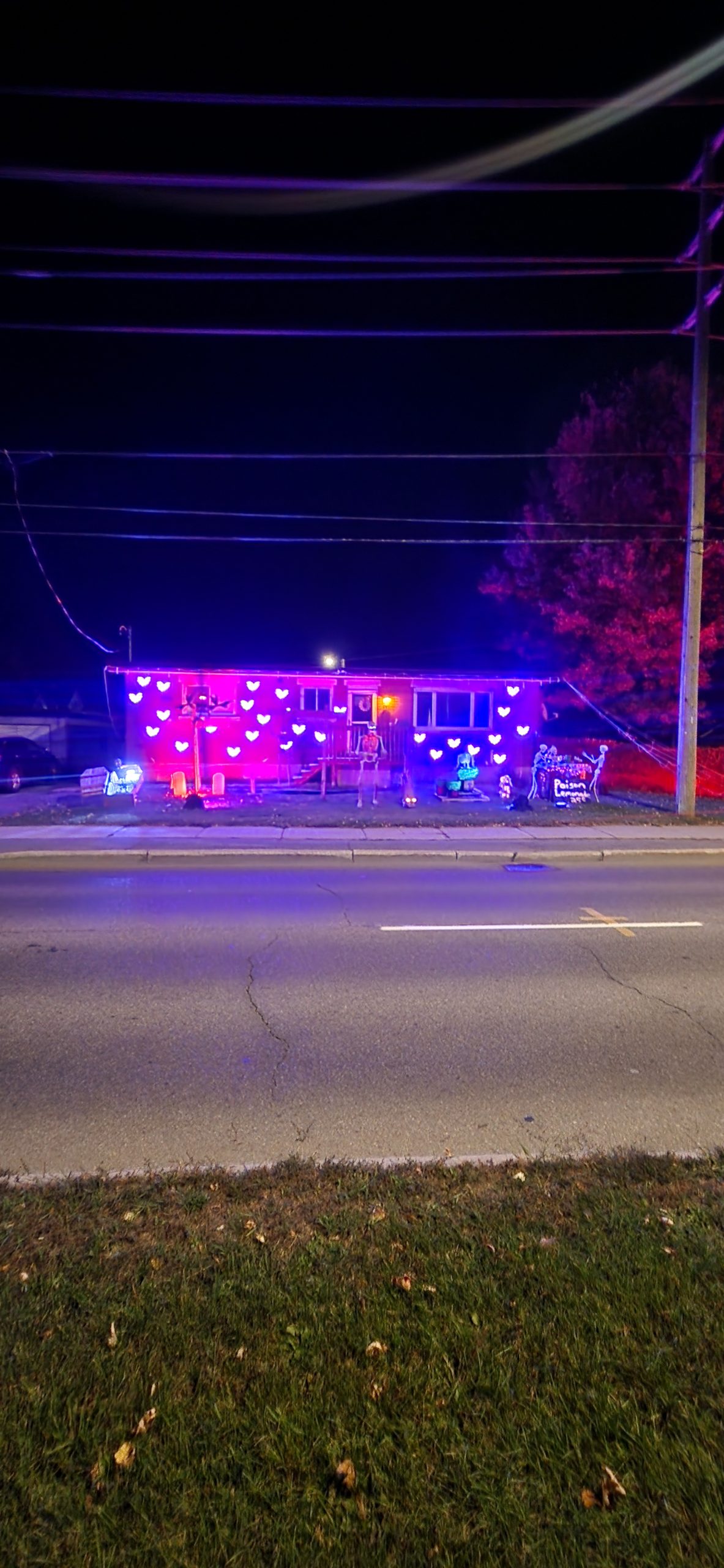
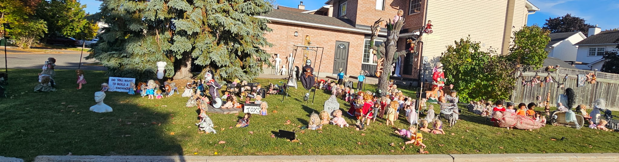
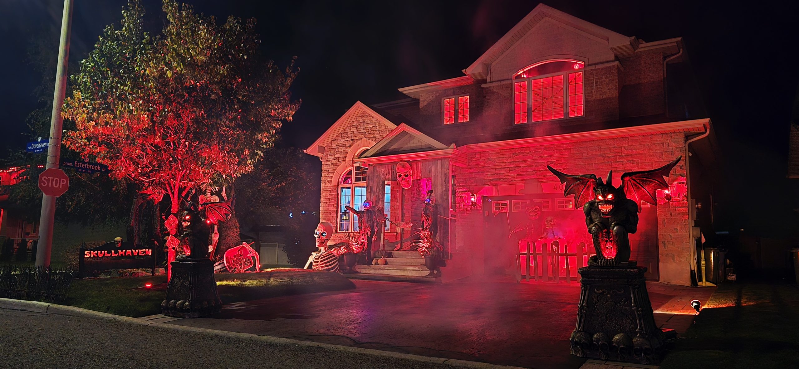
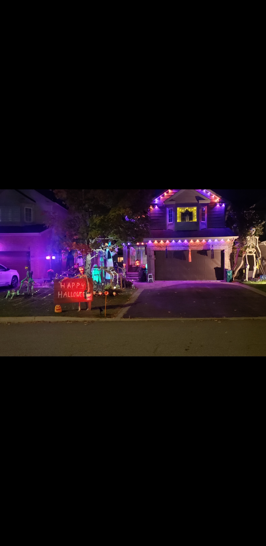
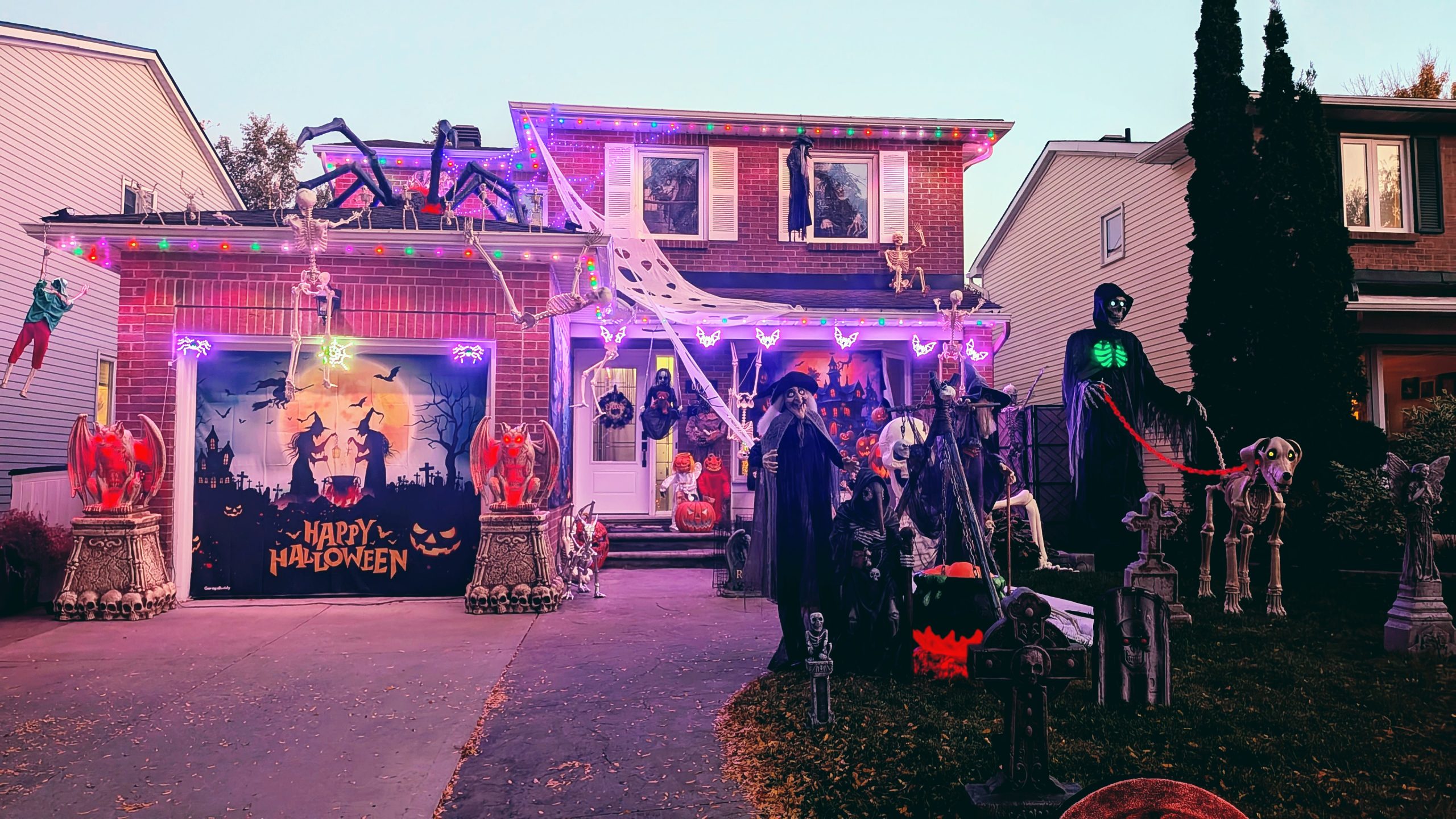
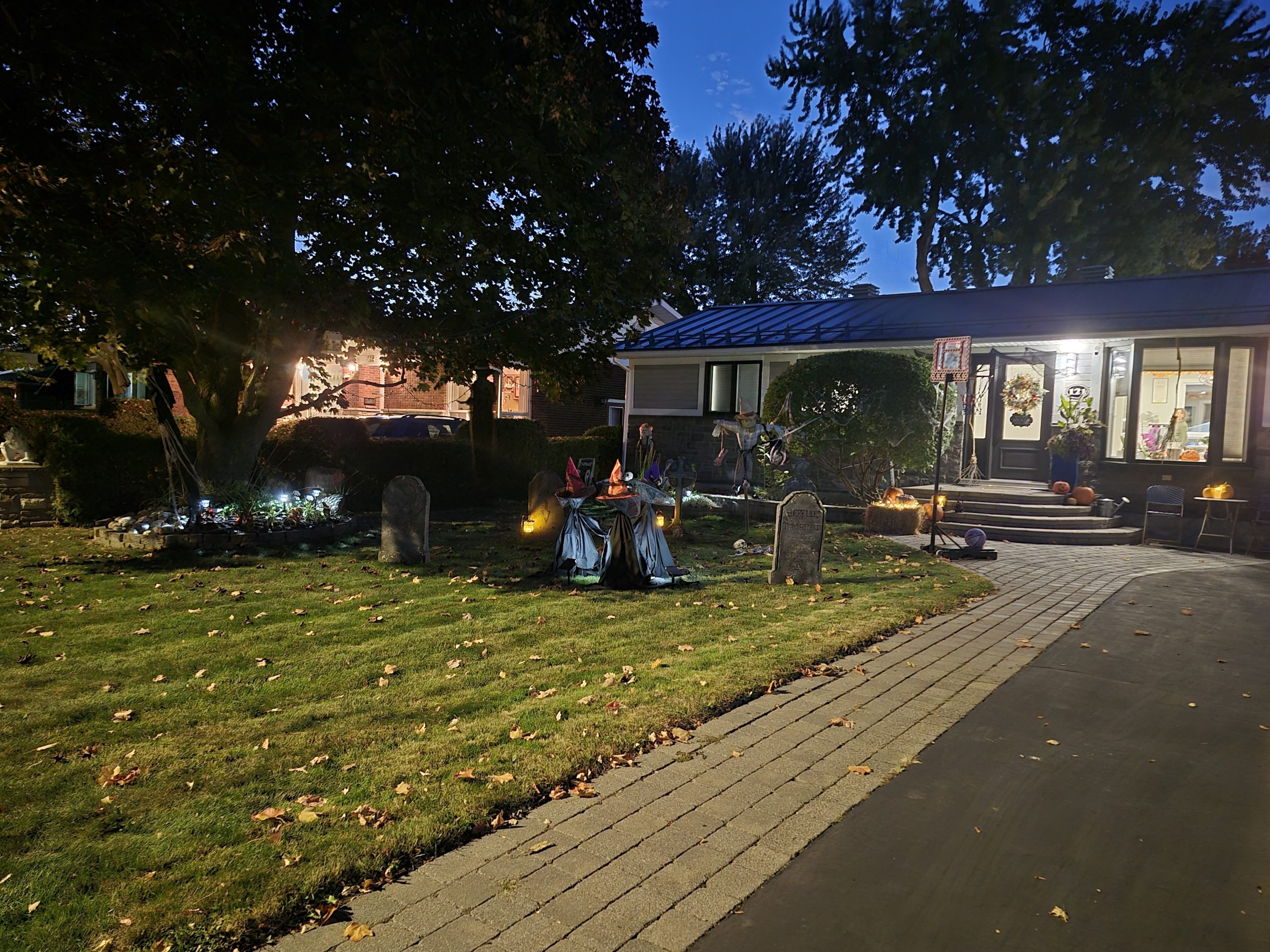
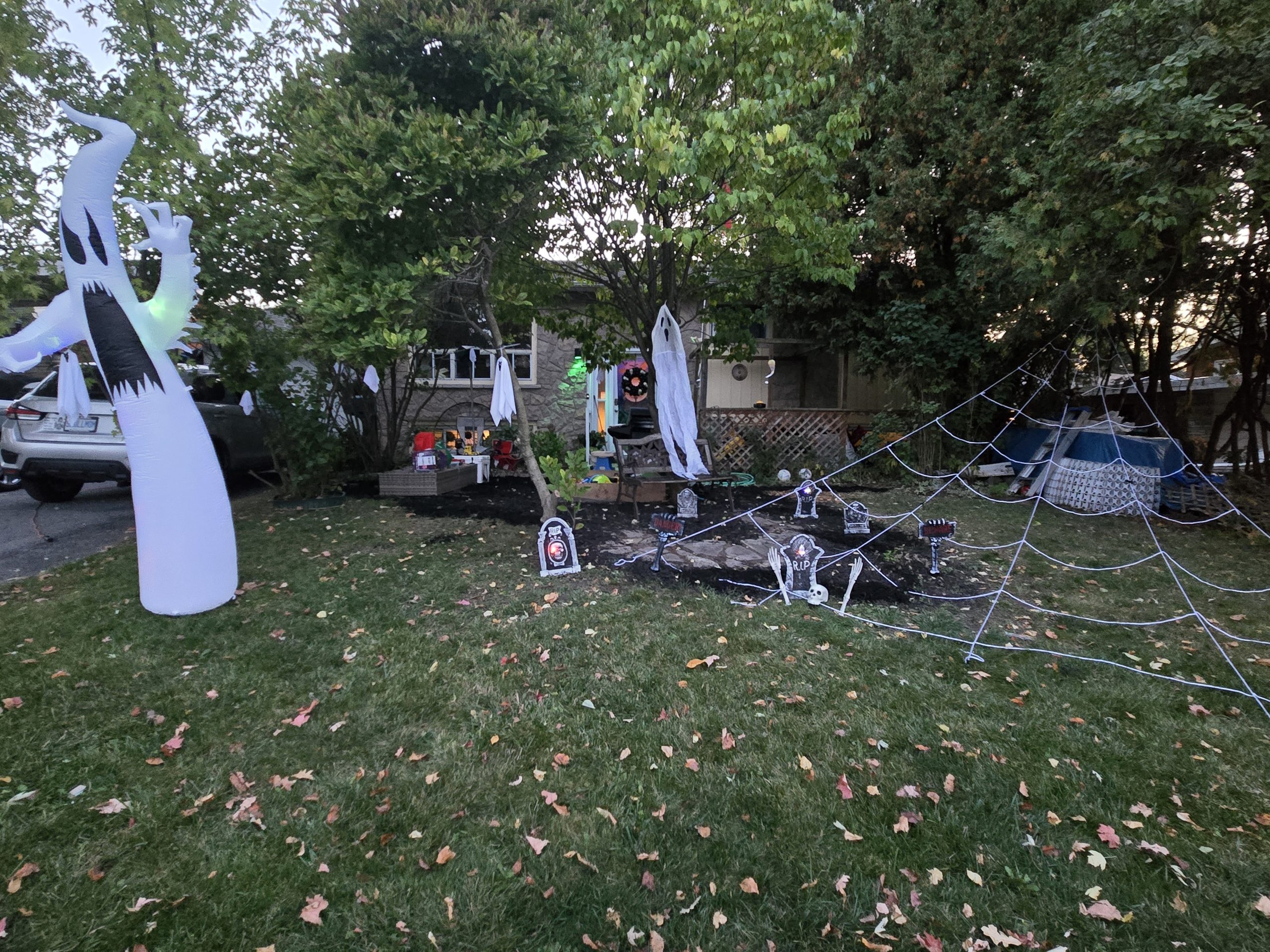
Take a look through all the SPIRITED and awesome finalist submissions from your Orleans neighbours!

Presented by
Your Real Estate Team Specializing
in the Community of Orleans
in the Community of Orleans
The Brissette Real Estate Team judges selected these finalists based on:
Creativity
Halloween Spirit
Overall Aesthetic

Vote for your favourite on BOTH Instagram and Facebook to give them the best chance at winning!

October 23
Voting Begins
On Facebook and Instagram

October 31
Voting ends at MIDNIGHT
Proudly Presented by The Brissette Real Estate Team!
Details Realty Inc. Brokerage
We’re more than just a real estate team we’re proud members of the Orleans community. This challenge is our way of giving back and celebrating the neighbourhood we love. Thank you for making Orleans such a vibrant place to live!
We can’t wait to see all the creativity Orleans has to offer!
Follow our Instagram and Facebook pages to see updates of the entries. Vote for yours or your favourite entry!
Do I qualify as an Orleans Home?
To ensure fairness, we are using the official boundaries as defined by the City of Ottawa.
See the description and map below.
defined as that part of the City of Ottawa described as follows: commencing at the intersection of Regional Road 174 and Cardinal Creek; thence generally southeasterly along said creek to Innes Road; thence westerly along said road to Frank Kenny Road; thence generally southeasterly along said road to Wall Road; thence generally southwesterly along said road to Tenth Line Road; thence southeasterly along said road to the Prescott-Russell Recreational Trail; thence westerly along said trail to a point at approximate latitude 45°25’22″N and longitude 75°31’43″W; thence northwesterly in a straight line to Renaud Road at approximate latitude 45°25’28″N and longitude 75°31’47″W; thence northerly in a straight line to Navan Road at approximate latitude 45°26’02″N and longitude 75°31’59″W; thence westerly along said road to Blackburn Hamlet Bypass; thence northerly along said bypass to Innes Road; thence northwesterly in a straight line to the intersection of Sir George-Étienne Cartier Parkway and St. Joseph Boulevard; thence southwesterly along said boulevard to Regional Road 174; thence northeasterly along said road to Green’s Creek; thence generally northerly along said creek and its production to the interprovincial boundary between Ontario and Quebec at approximate latitude 45°28’36″N and longitude 75°34’13″W; thence northeasterly along said boundary to a point at approximate latitude 45°30’44″N and longitude 75°28’54″W; thence southeasterly in a straight line to the mouth of Cardinal Creek; thence generally southeasterly along said creek to the point of commencement.
